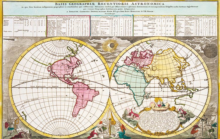
In the eighteenth century, Homann's map-printing workshop counted among Europe's most important map printers. Homann's maps were in great demand from travelers, explorers, and merchants all over the world.
The printing company, established by Johann Baptist Homann (1664-1724) in 1702, had its premises in the Fembohaus between 1735 and 1852.
By the middle of the eighteenth century, Johann Michael Franz (1700-1761), Johann Georg Ebersberger (1704-1760), and astronomer Tobias Mayer (1723-1762) had turned the printing workshop into one of Europe’s leading map publishers. The introduction of astronomic bearings made Homann's maps more precise than French or Dutch maps. The best maps of the moon and stars, the first atlases, as well as the most precise map of Germany at that time were all printed here. The most important maps are displayed and explained in detail.


